Technology
Technology that supports better farm decisions.
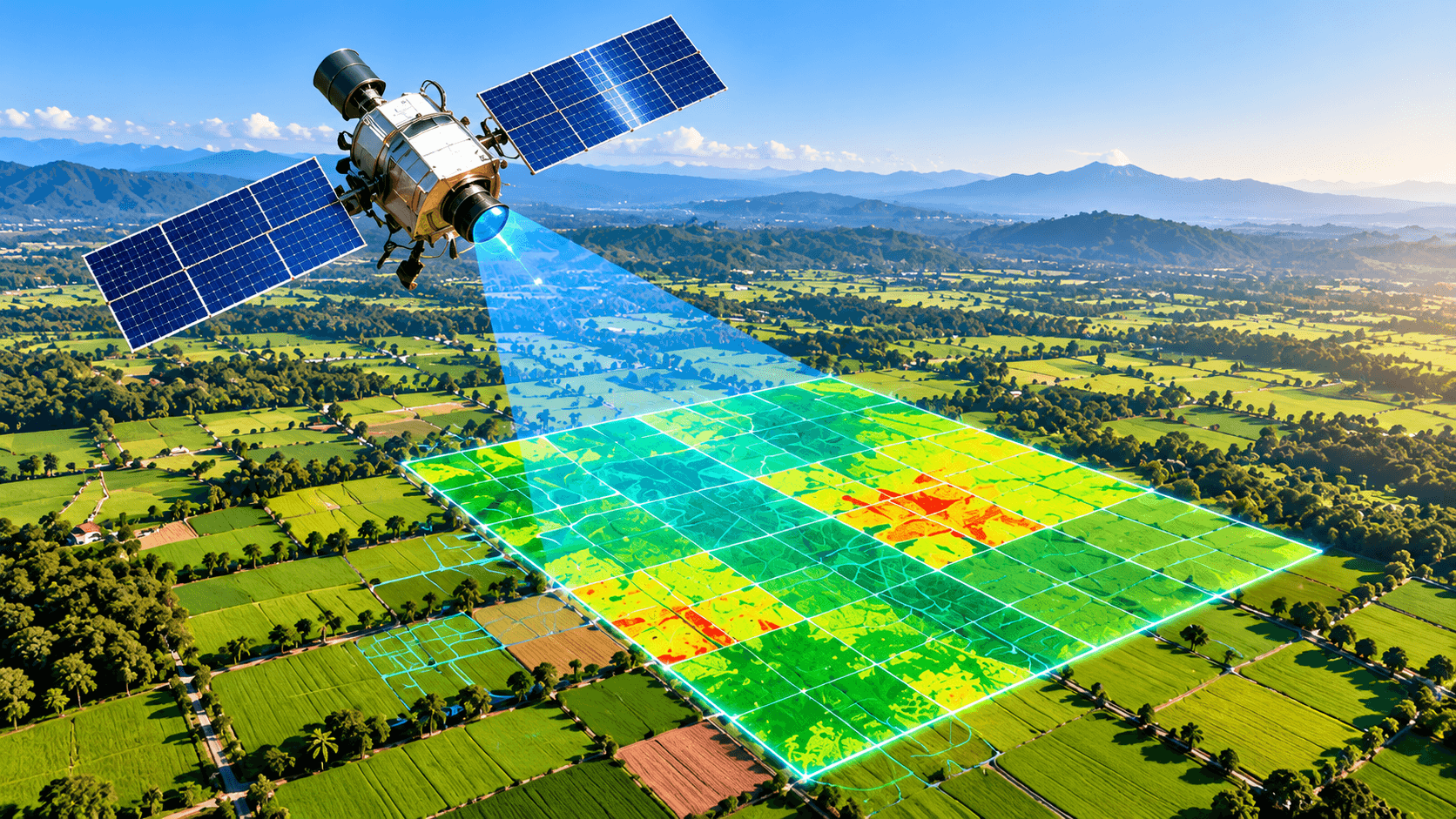
Verveda uses data, AI-assisted analysis and satellite insights as decision support - always combined with agronomy expertise.
Technology
Where Agriculture
Meets Intelligence.
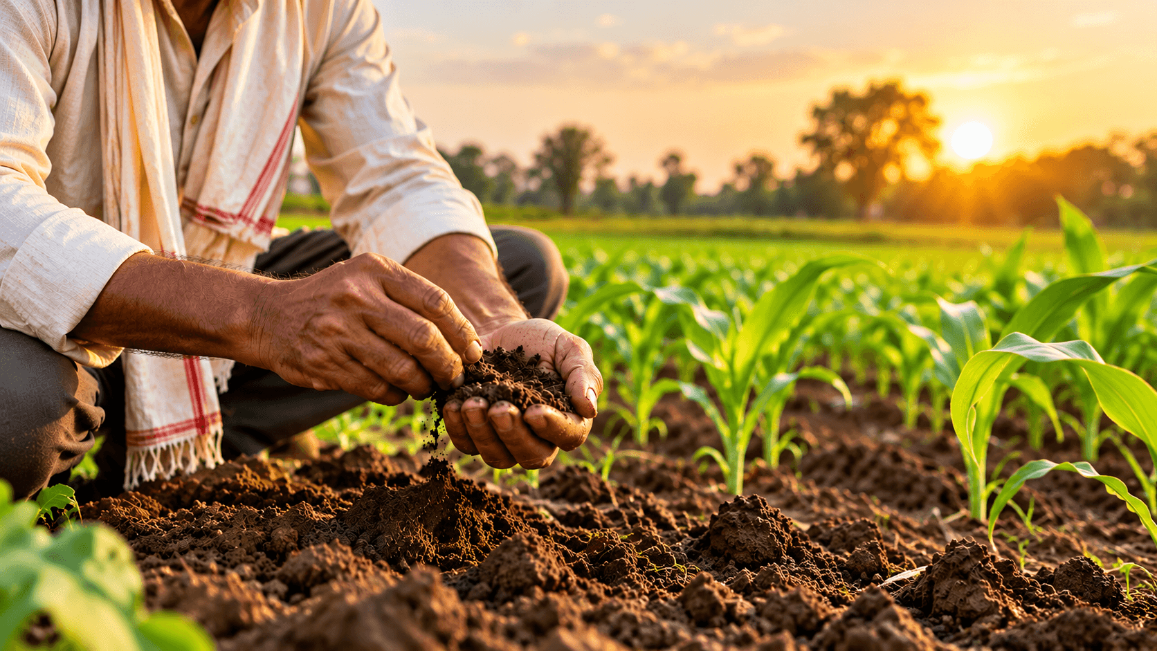
Soil, crop and field data come together with AI-assisted analysis and satellite insights to support practical decisions on the farm.
- Soil Data
- Crop Data
- AIPilot
- Satellite InsightsPilot
- Geo-tagging
- Digital Farm Records
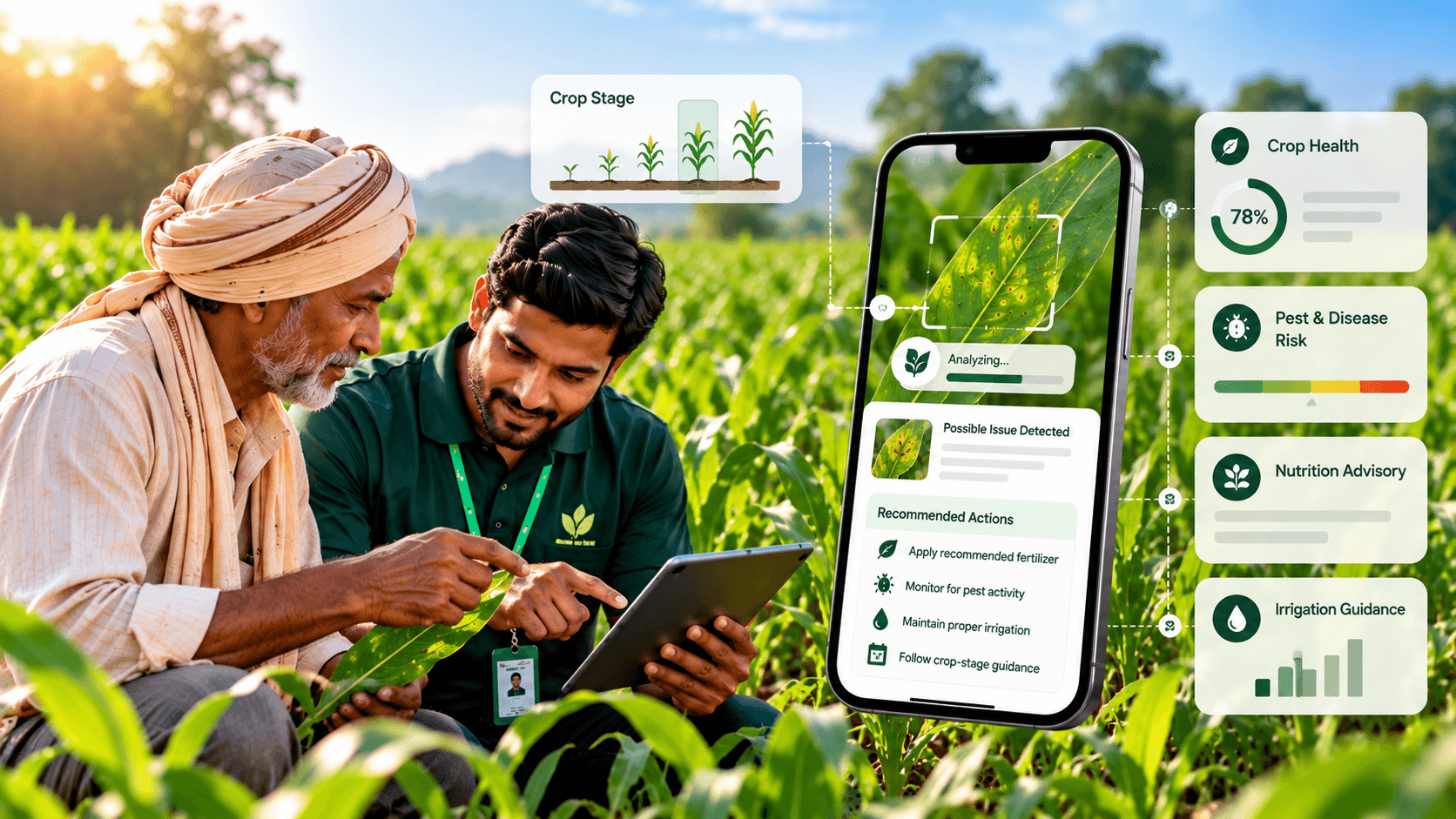
VERVEDA AGRICULTURAL INTELLIGENCE
Actionable Agricultural Insights
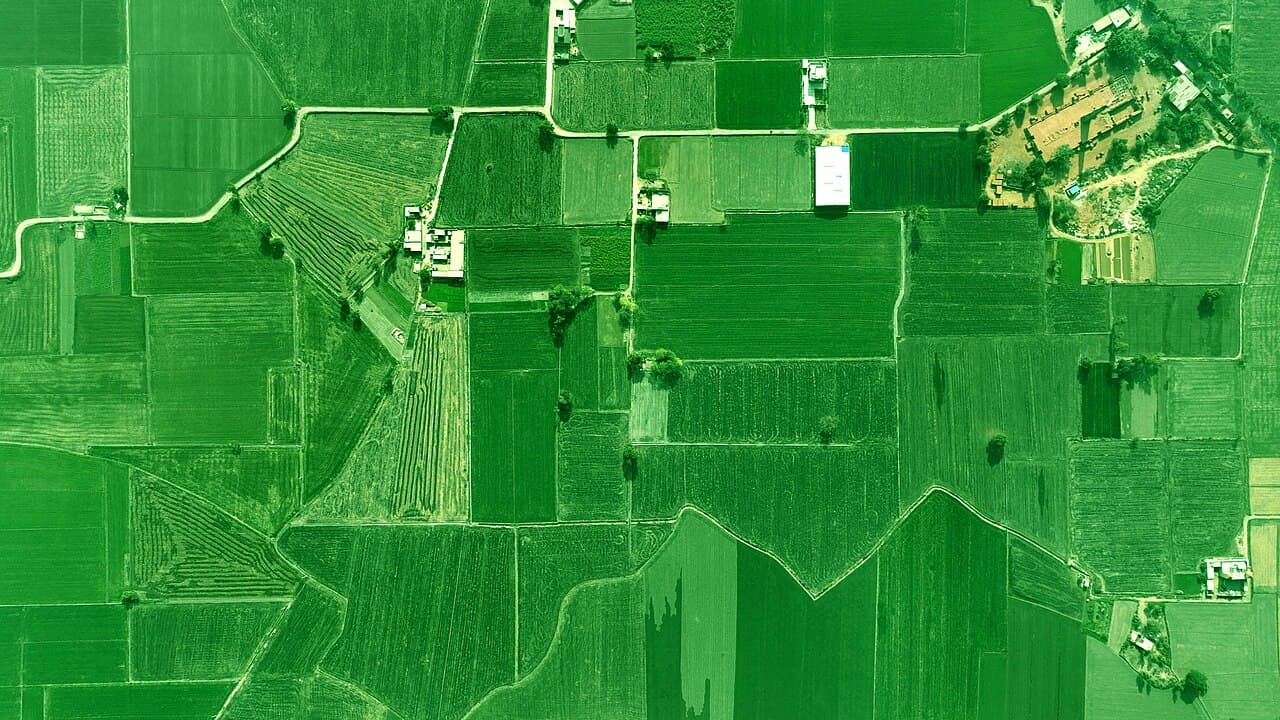
Field insights
- Soil health
- Good
- Crop stage
- Vegetative
- NDVI (crop health)
- 0.76
- Last updated
- 12 Oct 2026
Advisory: soil moisture trending low, plan irrigation this week.
Soil information
- Organic carbon
- 0.62%
- Nitrogen (N)
- Medium
- Phosphorus (P)
- Medium
- Potassium (K)
- High
Crop monitoringPilot
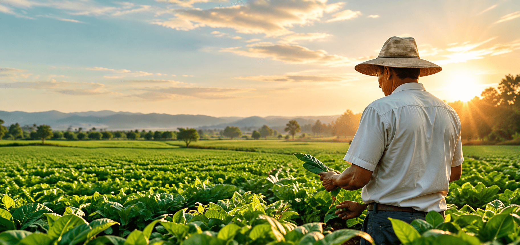
AI crop analysisPilot
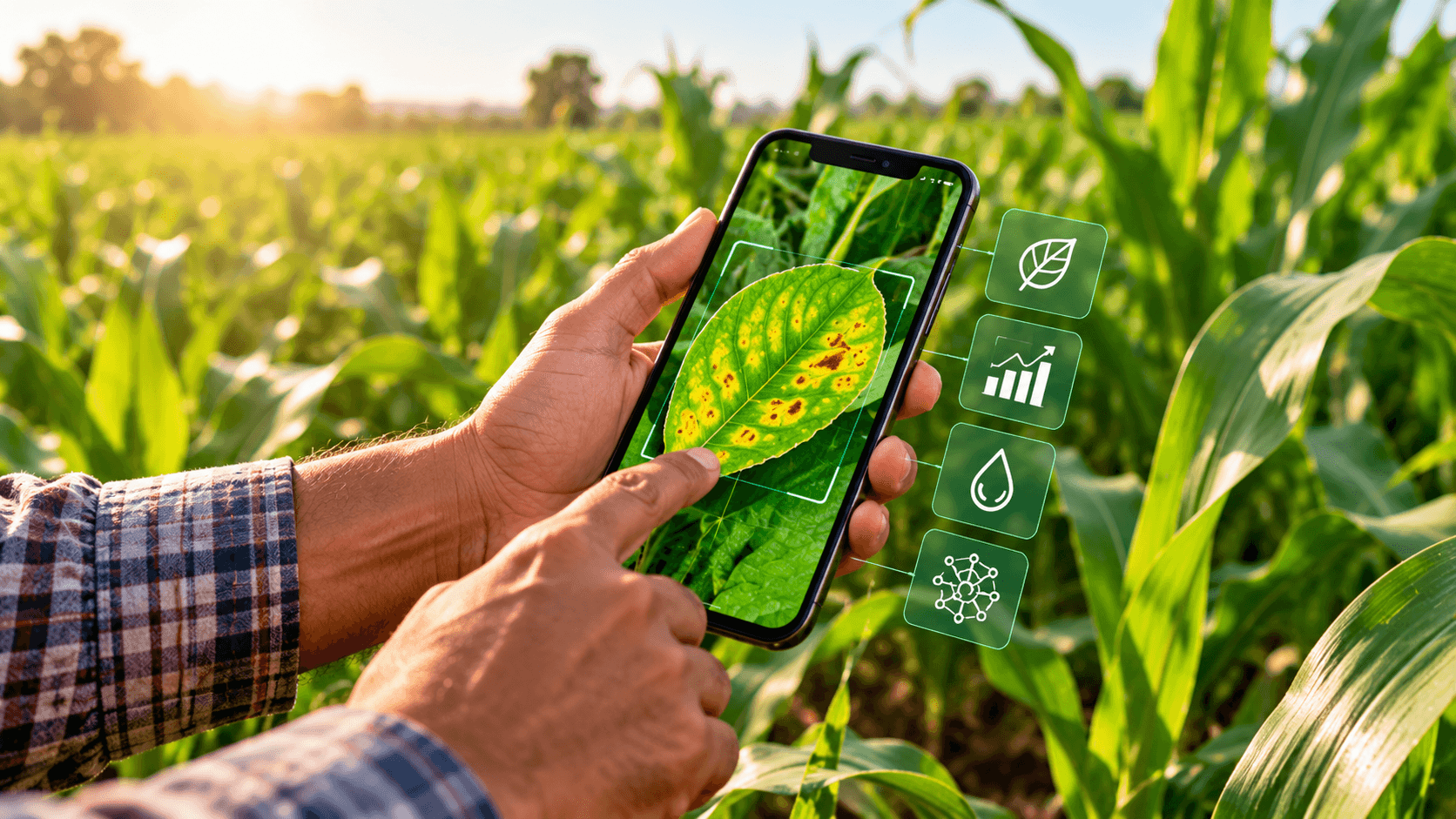
Possible leaf spot detected
Capabilities
What is live, and what is coming.
We keep current capabilities clearly separate from those still in pilot or development.
Available now
In use today across the Verveda workflow.
Soil Data
AvailableLab soil test results linked to each farm and sample location.
Crop Data
AvailableCrop, variety, sowing date and crop-stage records for each field.
Geo-tagging
AvailableFarm boundaries, sample points and field visits tied to GPS location.
Digital Farm Records
AvailableOne digital record per farm: soil, crops, visits and advisories.
Pilot and in development
Being tested or built. Results support decisions and do not replace expert advice.
AI
PilotAI-assisted crop image analysis that suggests possible issues and next steps.
Satellite Insights
PilotVegetation indices over time to flag potential crop stress.
Connecting Agriculture With Intelligence.
Let's Build Smarter Agriculture Together.
Connecting farmers, technology, agricultural inputs and farm services through one growing ecosystem.